We talk about anthropogenic climate change in human-centric terms: the planet is getting warmer very quickly relative to the historical baseline of 1800 CE. But heat just means energy. A plane flying from Taipei to Los Angeles got some kinetic energy from the warmer Pacific waters this week:
China Airlines Flight 5116 rocketed to a speed of 1,329 km/h as it bolted eastward across the Pacific Ocean on Thursday, potentially breaking informal records for passenger travel. The commercial flight, which departed from Taipei, landed more than an hour early in Los Angeles, propelled by exceptionally strong tailwinds.
A roaring Pacific jet stream, supercharged by the El Niño climate pattern and moving at more than 400 km/h, gave the flight a boost.
China Airlines 5116 flew its route of 11,593 km in just 10 hours 18 minutes, which rounds to an average speed of 1,126 km/h! That’s including takeoff, landing and all the slower points in the journey. (Working against the jet stream, an average westbound flight from Los Angeles to Taipei is usually scheduled for 14 hours 40 minutes.)
That wasn't the only record: Washington DC hit 27°C on Friday, the warmest temperature ever observed there in January.
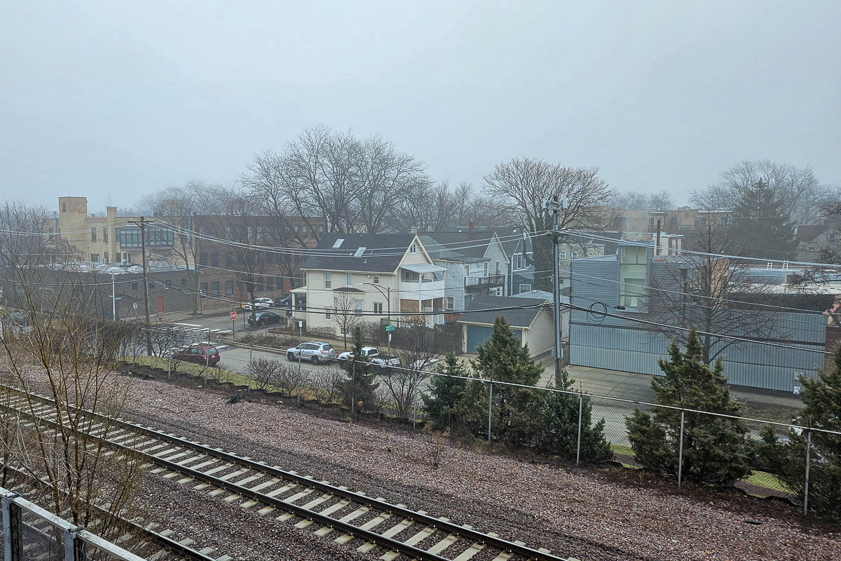
Unfortunately the same hemispheric weather system making planes go fast and giving the East Coast June-like weather has kept most of the central US in thick fog:
Since Tuesday, record amounts of fog have blanketed the Lower 48 states, lowering visibility, disrupting flights, causing vehicle accidents and even delaying schools.
On Thursday morning, dense fog advisories affected nearly a third of the United States population (more than 100 million people) and parts of 27 states. These advisories covered the entirety of Iowa, Missouri, Louisiana, Mississippi, Illinois, Indiana and Tennessee and portions of many other states from Texas to New York.
Advection fog is the cause. Unlike radiation fog, which typically forms overnight when skies are clear and winds are calm in the spring and fall, advection fog develops when warm, moist air is transported over a layer of cold air near the ground.
Tuesday, Wednesday and Thursday mornings set records for the number of dense fog advisories nationally, according to Daryl Herzmann, a systems analyst who manages a weather hazard database at Iowa State University. Each day surpassed the record set the day before. The fog advisory database dates back to January 2005.
I can confirm it is still foggy in Chicago:

Update: This is all quite a change from 10 years ago today, when the polar vortex visited Chicago with -31°C wind chills.