First, a helpful diagram from NOAA explaining how global warming has increased the Arctic Oscillation to give Chicago record-cold weather today:
.png)
Even though this concept is beyond the ken of some people, global warming increases weather extremes in both directions.
More Chiberia coverage:
Meanwhile, we've still got another 24 hours or so of this vortex to live through. The forecast right now predicts a high today of -26°C and low tonight of -29°C with wind-chill values down to -40°C.
The official temperature at O'Hare got down to -31°C before 7am. Here at IDTWHQ it's -28.4°C. We didn't hit the all-time record (-32.8C) set in 1985, but wait! We will likely hit the low-maximum temperature record today.
WGN reports that temperatures under -29°C have occurred only 15 times since records began 54,020 days ago.
And the Wiccan coven next door has just received a shipment of battery-heated, thermal-insulated sports bras.
So, I'll be working from the IDTWHQ today. And tomorrow.
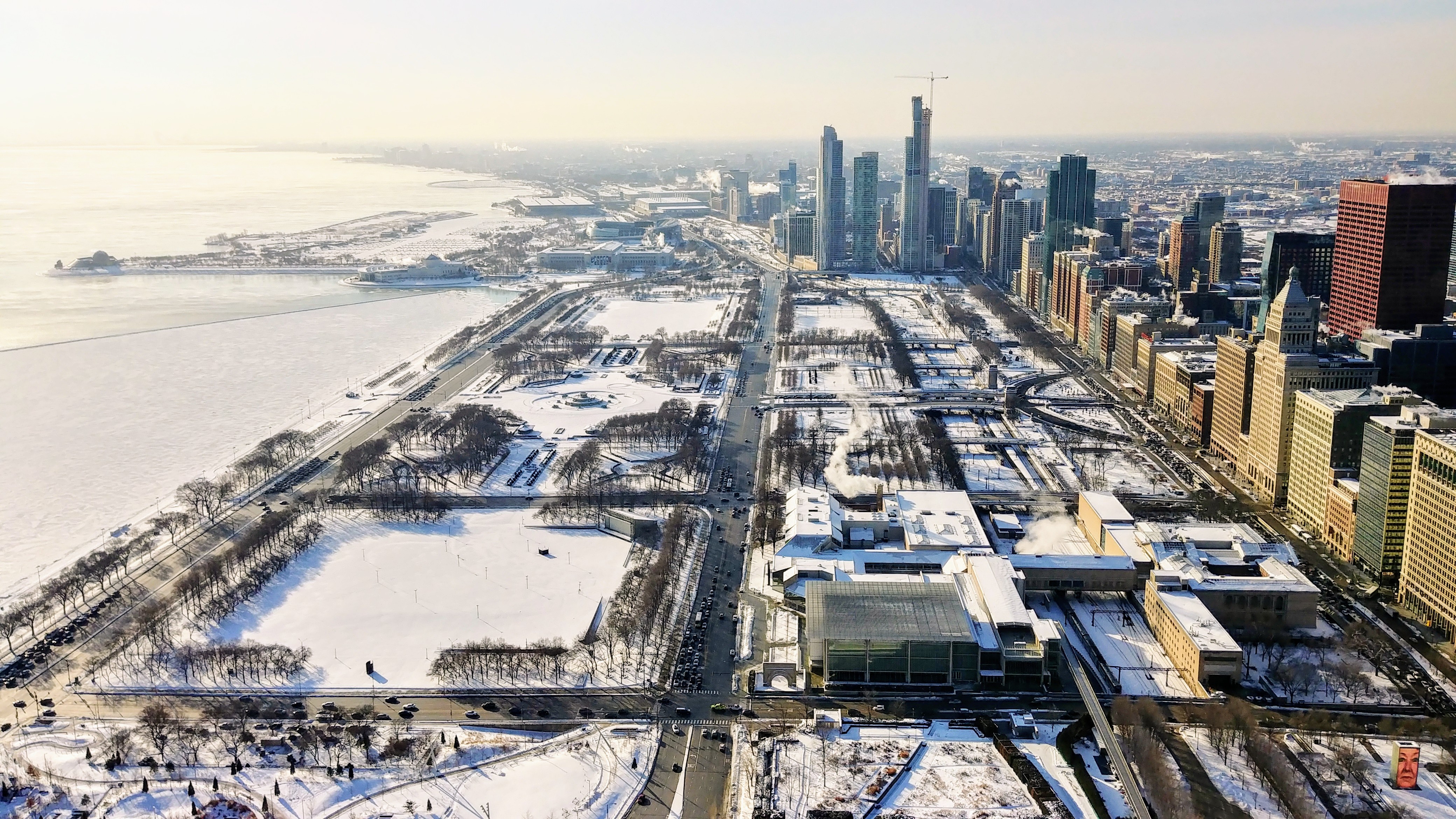
Sure, it's -18°C outside, but check out the view:
The forecast for Wednesday not only predicts the coldest day since 1996. Now meteorologists predict the coldest day ever recorded in Chicago:
Temperatures are forecast to inch up to a daytime high of about -26°C on Wednesday—the first subzero [Fahrenheit] high temperature in five years and the coldest winter high ever recorded in Chicago—before dipping, again, to about -29°C overnight. The coldest daytime high in Chicago was -24°C on Christmas Eve 1983.
For younger Chicagoans, the burst of Arctic air set to overtake the city this week could be one of the coldest days of their lives. For Generation Z, this week’s predicted low temperatures have only two rivals: -27°C on Jan. 6, 2014, and -28°C on Feb. 3, 1996.
Awesome. Note that I experienced all of those, and blogged about the 6 January 2014 weather right here.
In no small irony, this cold snap seems directly related to global warming:
The wintry onslaught will be driven by the Northern Hemisphere’s polar vortex, the pocket of cold air sitting atop the North Pole. When temperatures rise in the Arctic, the polar jet stream — the torrent of westerly winds that hold the polar vortex in place — can weaken and dip into parts of North America.
“Occasionally this ring of winds deforms or even splits, which allows the cold air to spill southward over mid latitudes — this is exactly what’s happening now,” said Jennifer Francis, a senior research scientist with Woods Hole Research Center in Massachusetts, in an email. “It just so happens that the lobe of cold air is located over central North America, with Chicago in the crosshairs.”
A growing body of evidence suggests another warming trend in the Pacific Ocean is believed to be causing the jet stream that confines the polar vortex to warp further, with warm air penetrating near the Pacific Northwest and a lobe of cold air sinking into the Midwest and Northeast.
“The stronger ridge does two things: It pumps cold air into central North America, which deepens the downstream trough, and it also becomes more persistent because larger jet stream waves move more slowly than small ones,” Francis said. “This is partly why this jet stream pattern tends to be long-lived once it sets up.”
Whoo boy. Can't wait. Doggie daycare is closed, and Parker's regular dog walker isn't certain he can make it, so I'll be working from home.
We've had some snow, and we've had some cold, but this week we will have both. A lot of both:
Tonight
Snow, mainly after midnight. The snow could be heavy at times. Patchy blowing snow after 11pm. Temperature rising to around -3°C by 5am. Wind chill values as low as -19°C. Breezy, with a south southeast wind 15 to 25 km/h increasing to 30 to 40 km/h. Winds could gust as high as 50 km/h. Chance of precipitation is 100%. New snow accumulation of 80 to 120 mm possible.
Monday
Drizzle and snow, possibly mixed with freezing drizzle before 1pm, then a chance of snow and freezing drizzle between 1pm and 4pm, then a chance of snow after 4pm. Patchy blowing snow before 8am. Temperature rising to near 1°C by 9am, then falling to around -7°C during the remainder of the day. South southwest wind 25 to 30 km/h becoming northwest in the afternoon. Winds could gust as high as 50 km/h. Chance of precipitation is 100%. Little or no ice accumulation expected. New snow accumulation of 10 to 30 mm possible.
Tuesday
Partly sunny and cold, with a high near -16°C. West wind 20 to 30 km/h, with gusts as high as 50 km/h.
Wednesday
Partly sunny and cold, with a high near -23°C.
Yes. A high of -23°C. If it happens, it would be the lowest maximum temperature recorded in Chicago since 3 February 1996. (Sadly, I remember that one too.)
So tempted to work from home...so tempted...
At least the longer-range forecast calls for normal temperatures the week of February 4th.
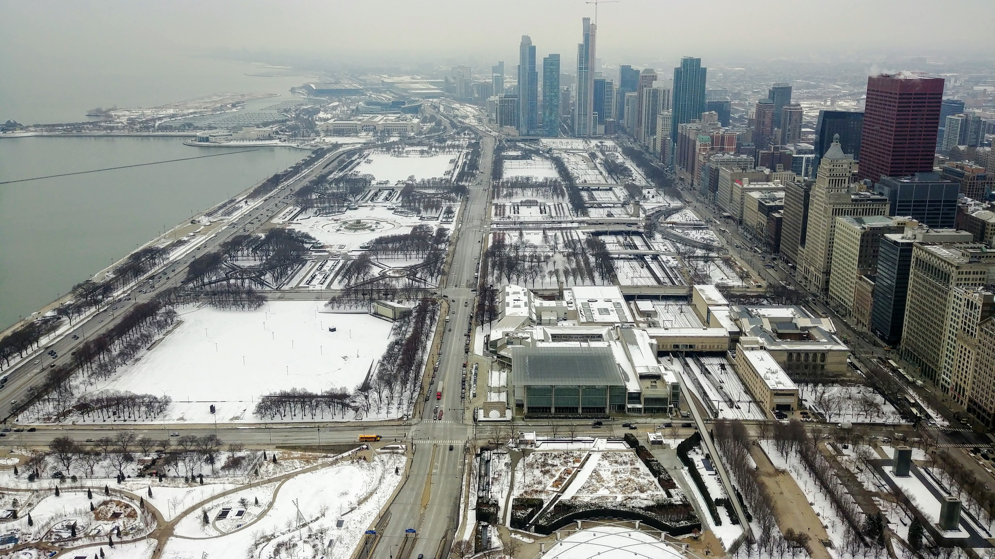
I missed posting two days in a row because I've just been swamped. I'll have more details later. For now, here's my new office view:
One of my smartass friends, who lives in Los Angeles, asked what that white stuff was. It's character, kid. It's character.
Jennifer Finney Boyan explains the English tradition, along with its Irish counterpart:
In England, it’s Boxing Day; in Ireland and elsewhere, it’s St. Stephen’s Day. When I was a student in London, my professor, a Briton, explained that it was called Boxing Day because it’s the day disappointed children punch one another out.
For years I trusted this story, which only proves that there are some people who will believe anything, and I am one of them.
The real origins of Boxing Day go back to feudal times, when workers on a lord’s estate would ask, on this day, for a Christmas box, in exchange for good service throughout the year. Later, the tradition expanded to include the collection of alms for the poor.
In Ireland, St. Stephen’s Day brings the appearance of the Wren Boys— costumed revelers engaged in a ritualized hunting of a wren. The best-known Wren parade happens in Dingle, in County Kerry. There’s a lot of marching around and collecting of money, some of which goes to charity and some of which — according to at least one of my Irish friends — goes to pay for a round at the pub. The veneration of the wren predates Christianity, in fact: The Irish word for wren, “dreoilin” — comes from two words, “draoi ean,” the druid bird.
In London on this Boxing Day, few stores have opened, but at least the Tube has resumed a normal schedule. And, of course, the sun hasn't come out from behind the low overcast all day. Perfect British winter weather.
I complained this morning that we haven't had much sunlight so far in December. Just now, the Illinois State Climatologist reported that November's weather sucked too:
It was a cold and snowy November in Illinois.
- The statewide average temperature for November was 1.8°C, which is an impressive 4°C below normal, ranking November 2018 as the 8th coldest on record.
Looking at meteorological Fall (Sept, Oct, Nov), temperatures for the season ended up near normal in southeastern Illinois, and between 1-2°C below normal as you head northwest toward Rockford and the Quad Cities.
And it was gloomy.
We might see sun later today. Updates as events warrant.
As we plod towards the earliest sunset of the year on December 8th, it hardly matters, because we haven't seen the sun much at all this month. So far this month we've seen 45 minutes of sunlight. That's 7% of the possible 604 minutes the sun has been up.
But hey, it's winter in Chicago, and it builds character.
Yesterday, a combination of moisture and cold caused snow to fall in a singularly odd pattern near Chicago:
Although no widespread weather systems were in the area to crank out snow, flurries were still falling across parts of the area.
These unusual phenomena were thanks to a supercooled atmosphere interacting with exhaust from a power plant and also the air flow around commercial aircraft.
Farther to the north, a bizarre radar signature in the shape of a loop showed up just northeast of the Windy City, out over Lake Michigan. It turns out this dash of winter was caused by aircraft landing at O'Hare International Airport.
Observations from the airport at the time reveal a temperature of 22 degrees and a dew point of 17 degrees, both well below freezing. Additionally, the closeness of the temperature to the dew point meant the air was near saturation. There was 82 percent relative humidity at the time.
It's likely that supercooled water droplets were present in this air mass. That means the water vapor was below freezing but couldn't entirely transition into ice crystals because of a lack of particulates upon which to freeze.
In this case, though, an aircraft - or many aircraft - passed through this layer.
Meanwhile, police and firefighters closed streets around tall buildings in downtown Chicago yesterday as chunks of ice came crashing down on them. (On the streets, not the firefighters.) You can imagine the commute.