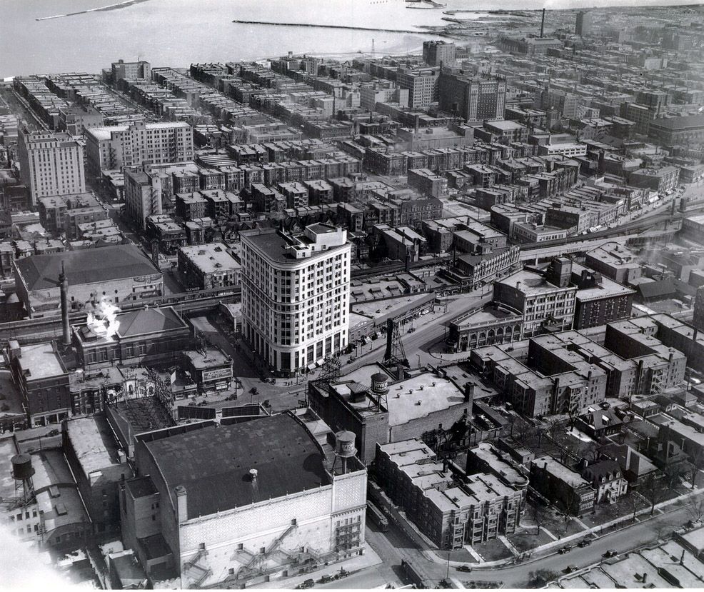
Now that I have a drone, I've been looking for historical aerial photos of Chicago. I found this 1933 photo of Uptown through the Chicago Public Library collection:
Here's approximately the same view about an hour ago:
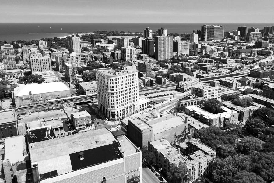
Some things immediately jump out. First, the trees. My how they've grown! Second, in the distance you can see the construction of Montrose Harbor in 1933 and the completed harbor (by 1937) in 2020. Third, we have a lot more parking lots and a lot less grime on our buildings these days. And what the hell is that huge industrial building billowing smoke at the corner of Montrose and Clarendon (upper-right corner of 1933)?
Since drones can only legally fly 120 m above the ground in the US, I couldn't get exactly the same angle as in the original photo. My best guess from a number of clues is that the top photo was taken from an airplane flying about 250 m (maybe not even that high) AGL shortly after 1pm on a sunny but hazy early-April afternoon. The air quality in Chicago in 2020 is so much better than at any point in the 20th century that almost no aerial photos from that era will have light as sharp and clear as we get today.
I have a couple more of these up my sleeve. Stay tuned.
Copyright ©2026 Inner Drive Technology. Privacy. Donate!