Tokyo has maps in all the metro and train stations showing where you are and where everything else is. However, throughout the city I found exactly one map where north was on top. Otherwise, they were all oriented in different directions. Here are two maps near Ueno-Koen within sight of each other that illustrate the problem. Exhibit A, with north towards the bottom left:
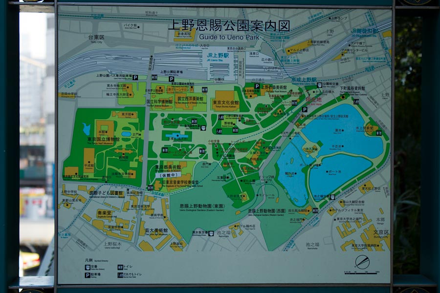
Exhibit B, with north in exactly the opposite direction:
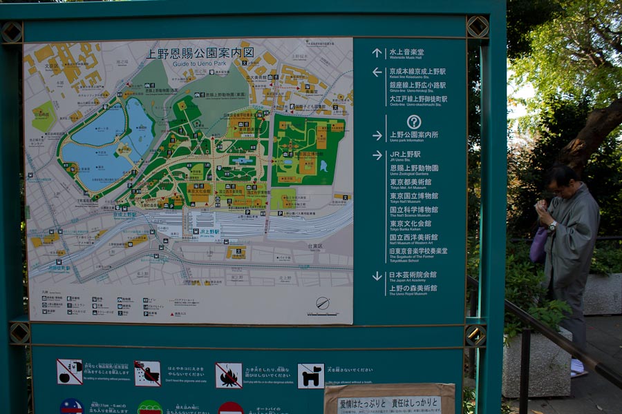
Exhibit C, near my hotel, shows two maps next to each other with completely different orientations:
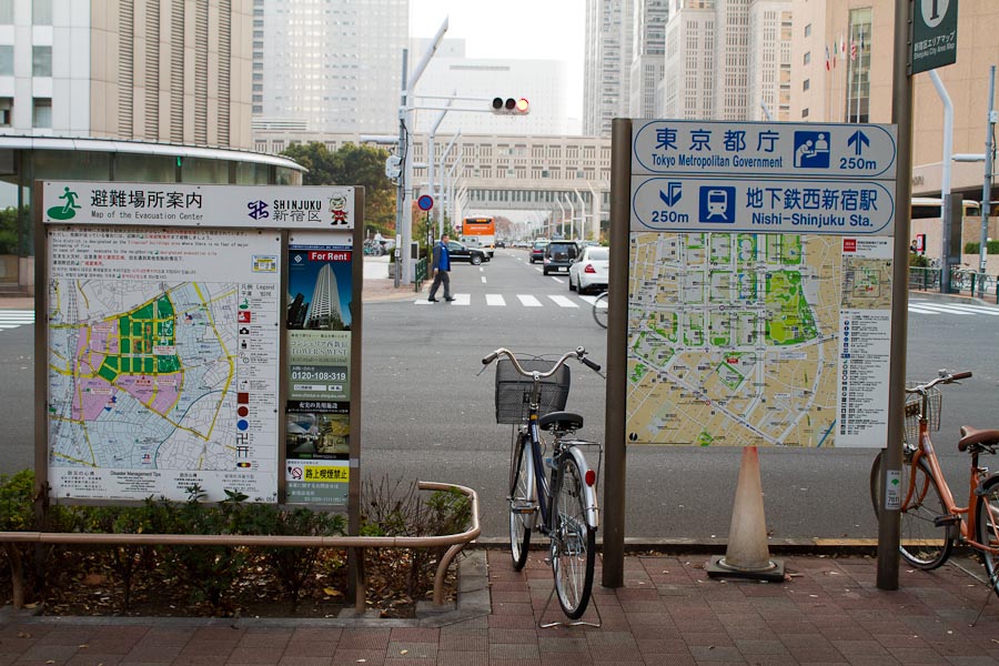
Why does this matter? Because whenever I looked at a map in Tokyo, I always had to spend several seconds figuring out what it represented. And it wasn't as if the orientations followed any pattern, for example showing what happens if you turn right or left from your current position, as the photo directly above shows.
I have no idea what, if any, principles are at work here. It's almost as if every map's orientation is completely left up to occident.