Via CityLab's new newsletter "MapLab:"
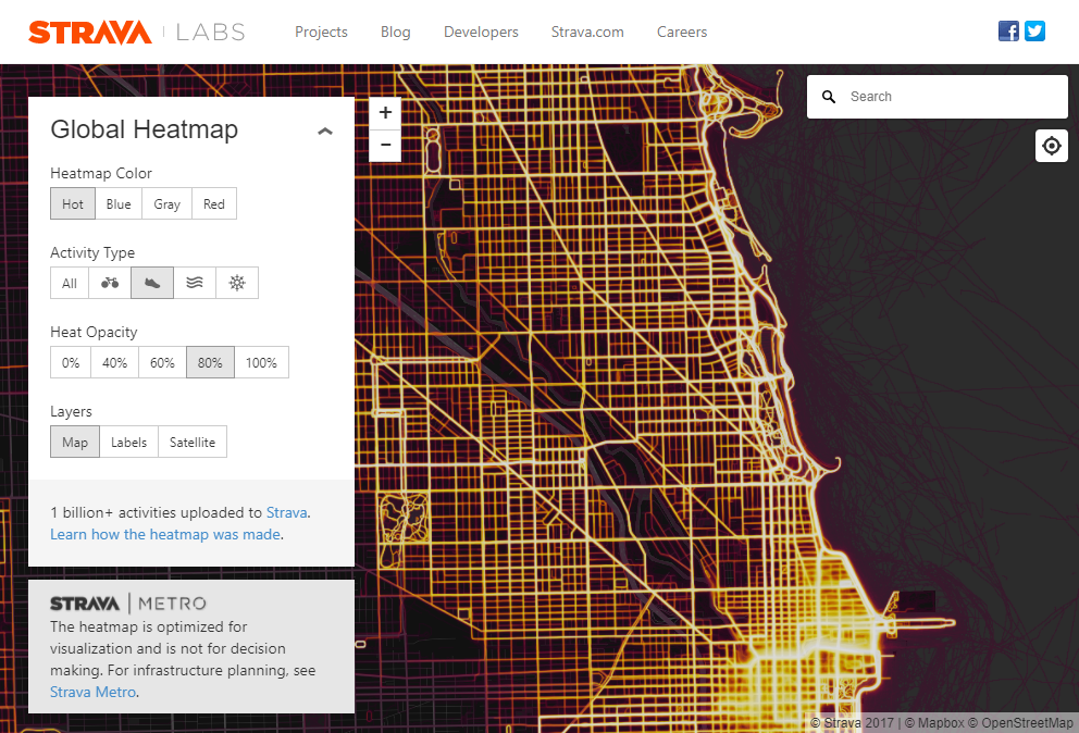
“Vision Zero” supporters are tapping into big data in other ways. This month, Strava, the app that tracks users’ athletic activity, re-released a “Global Heatmap” tracing more than 1 billion jogs, hikes, and bike rides by millions of members around the world. (The running scene in London, in striking orange and black, is shown above.) Already, some public agencies are making use of the data to support and protect all that sweat. CityLab’s Benjamin Schneider recently wrote about how Utah’s DOT is changing road and intersection designs to be safer for cyclists, based on the map. “It’s replacing anecdote with data,” one local planner told him.
Here's the run map for Chicago's north lakefront:
This is total Daily Parker bait. But I actually have work to do today.
Via a longtime reader, geologists have new evidence clarifying how Britain split off from the European mainland 450,000 YBP:
Researchers have found geological proof of one theory, that a catastrophic flood sparked massive waterfalls that cut through the rock ridge running through what's now the Dover Strait.
Analysis of [sonar] imagery, alongside existing supporting data, has led Collier and Gupta to report that Britain left Europe via a much more catastrophic route than erosion simply nibbling away at our connection to the continent. Instead, a glacial lake — perhaps sparked by an earthquake — over spilled its bounds in giant torrents of water.
"The waterfalls were so huge they left behind the plunge pools, some several kilometres in diameter and 100 metres deep in solid rock, running in a line from Calais to Dover," Collier said.
The chalky escarpment - similar to the cliffs at Dover - fell apart and released an epic flood, partially washing away the British land bridge to Europe.
That event wasn't enough to entirely separate the UK from Europe, with the final breach caused by a second megaflood that followed the first by as much as a hundred thousand years.
They conclude, "Had the initial flood not happened, the researchers added that Britain could still be connected to Europe, jutting out the same way Denmark does today."
I might follow this map. Explanation:
Community beer and brewery review site RateBeer puts out a list every year of the top 100 breweries in the world, “according to reviews taken last year and weighted by performance within and outside of style, balanced by indicators of depth.” From this year's list, 72 of the breweries are based in the United States.
Randal Olson found a pretty good solution using genetic algorithms and the Google Maps API. He computed an optimal road trip to visit a historical landmark in each state.
Forget that though. I want beer. Tasty beer. I applied Olson's solution to breweries to get the order in which to visit them in the least miles possible.
The trip to see just the 70 breweries on Yau's list takes 197 hours over 19,789 km. He thinks he can do it in 8 days. Or he can stop at any of the 1,414 other breweries in between and extend the trip to a month.
On the other hand, given the same amount of time off, I might rather do a oneworld explorer fare.
Lottery, anyone?